Rand'Abers 7

Saint-Pabu Saint-Pabu
  • Type Pedestrian
  • Distance 14.7 Km
  • Duration 3h45
  • Difficulty Medium
Saint Pabu
Erleac'h beach in Saint-Pabu

About us

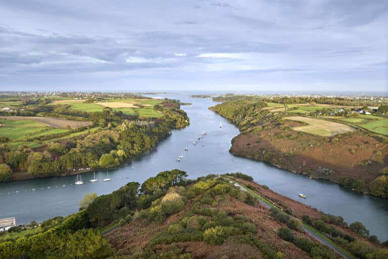
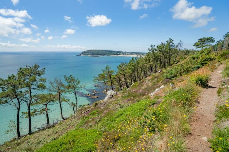
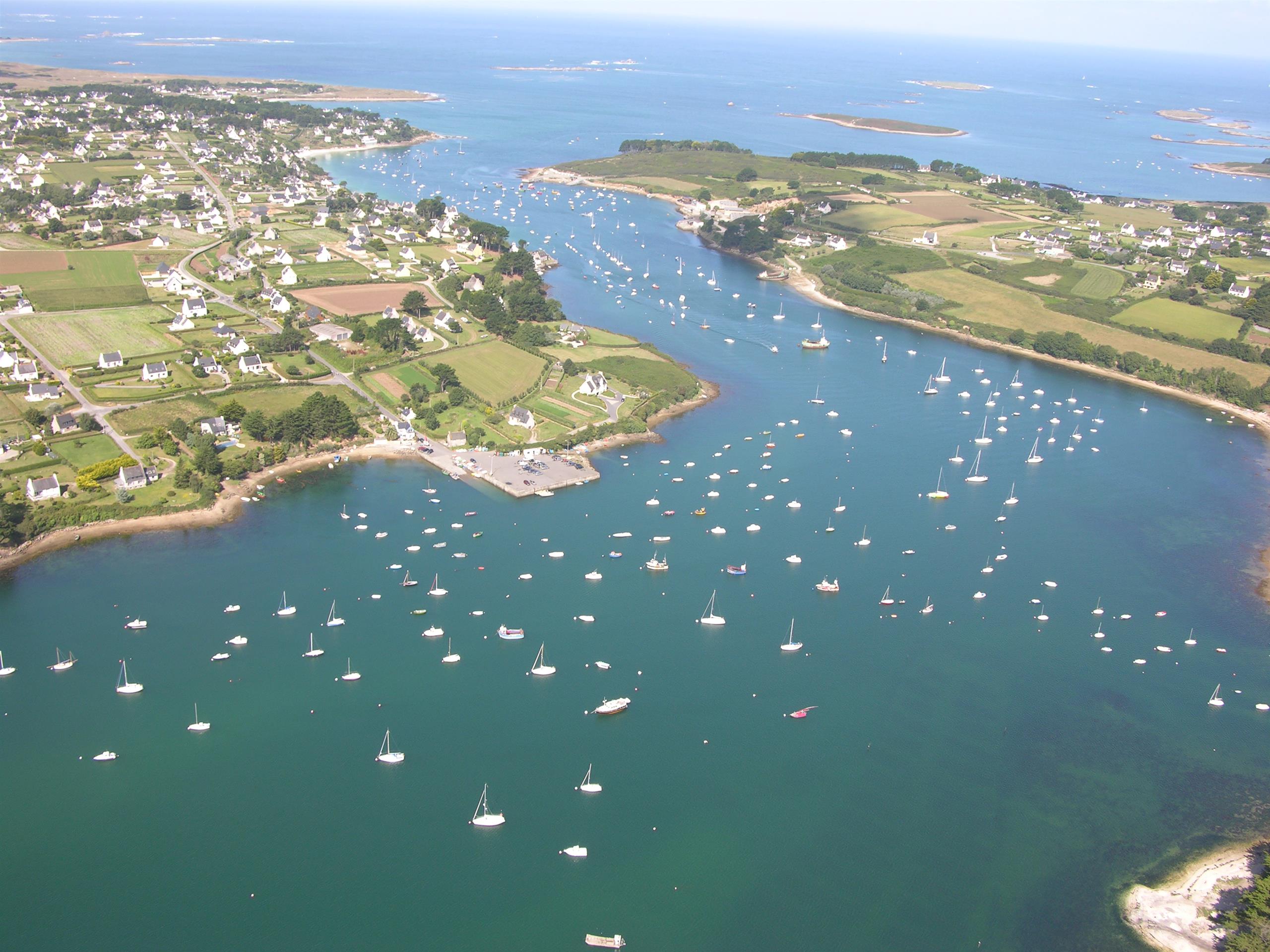
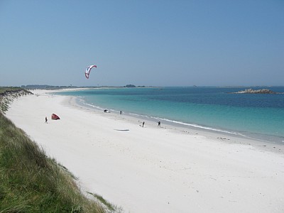
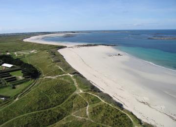
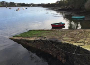
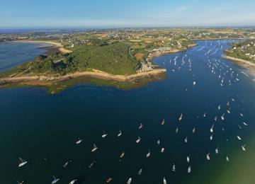
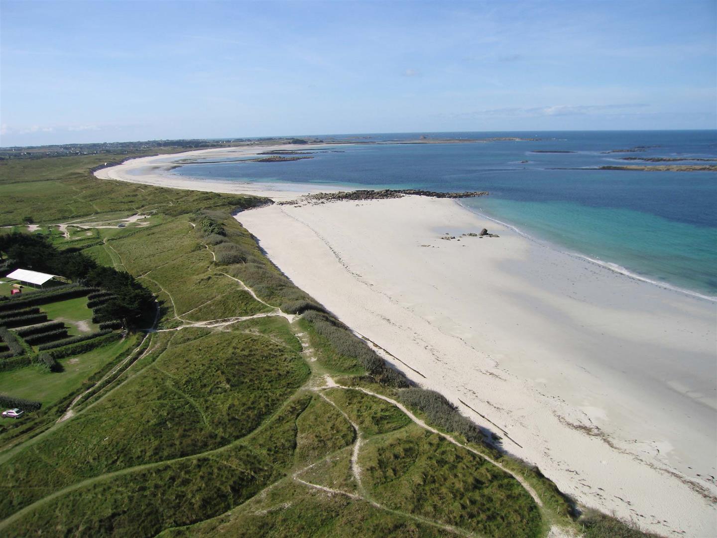
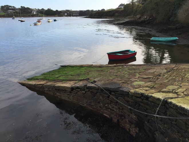
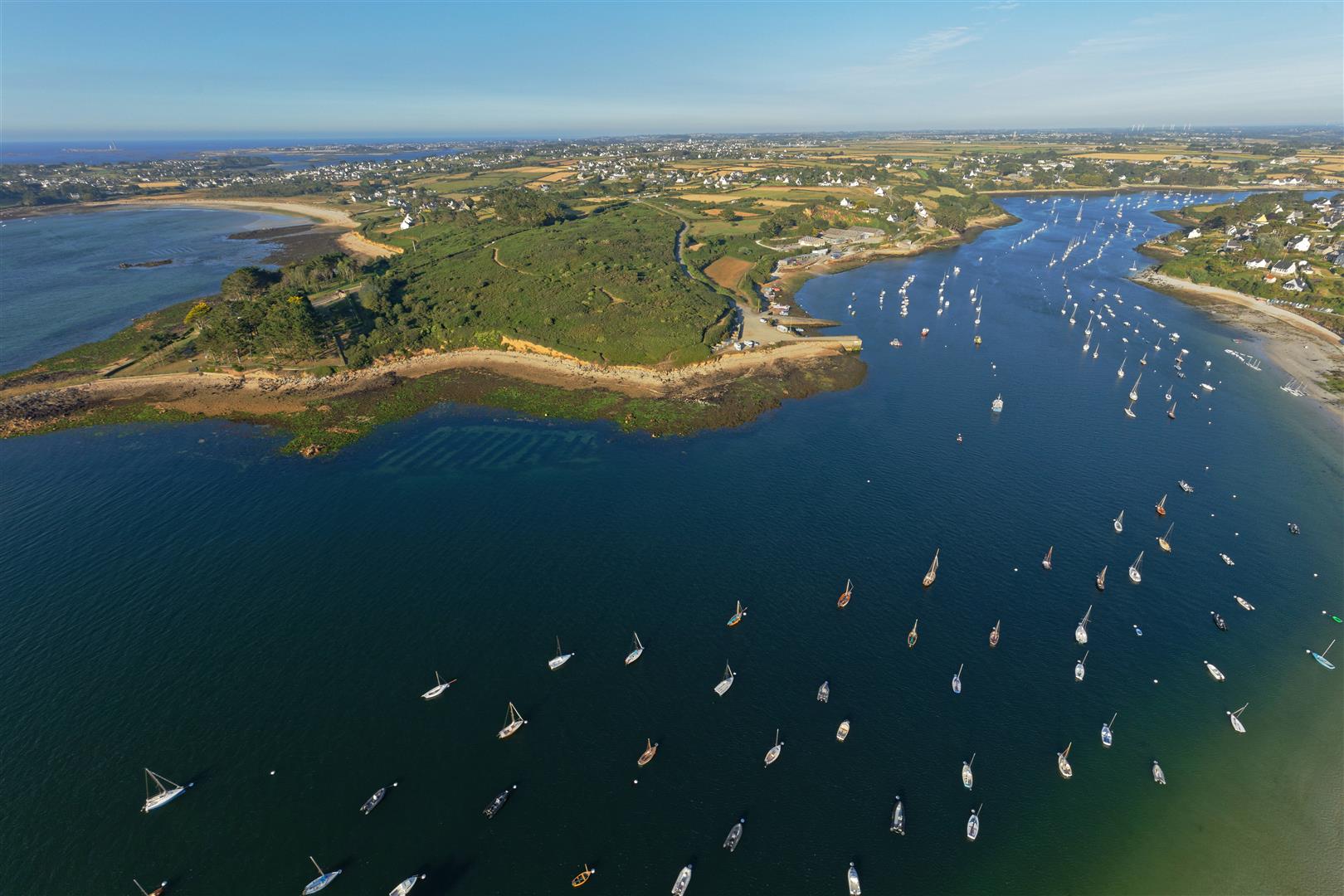
This route takes in the commune of Saint-Pabu along the GR 34, with a superb view of the Aber Benoit, and along country lanes.

Documents to download
Itinerary
Step 1/4:

Located in the Pays des Abers Natura 2000 zone, the Corn ar Gazel dunes are accessible via a number of paths that extend to the beaches of Lampaul-Ploudalmézeau and Saint-Pabu. Ile du Bec, Ile de Rosservo, Ile Trévors, Ile Garo... A stroll through the dunes offers an overview of the Pays des Abers coastline and its turquoise waters. From here, the coves, dunes and sandy beaches of the Sainte-Marguerite peninsula will hold no more secrets for you!

Saint-Pabu
Dunes and beaches

Although much of the stonework has disappeared, a main chamber can still be seen, separated from a cell by a bedside slab.
Polished axes and arrowheads dating from the Neolithic and Bronze Age have been found here.

Lampaul-Ploudalmézeau

Formerly the port of Saint-Pabu, a ferryman used to offer crossings between Landéda and Saint-Pabu.

Saint-Pabu
Cale du passeur

L'Aber Benoît: Its name comes from a mistranslation of the Breton "aber-beniguet", meaning "blessed aber". It runs for 31 km. The tide flows up the Aber Be-noît for around 10 km to the Tariec mill. At the beginning of the 20th century, there were over a hundred mills along its banks. Oyster-farming is a thriving industry here, and the belon des Abers is well known for its oysters.

Saint-Pabu
Aber Benoit
Getting there with Google Maps